The Great R'Idaho Trail #1
Nevada to Canada - Route DescriptionStage 5: Lowell to Wallace
Distance in Miles
Miles of Trail
Minimum Elevation in Ft
Maximum Elevation in Ft
Interactive Maps To See Detailed Route. (Full screen) Download alternate GRIT1-Stage 5B Tracks
Legend
- Red: Designated motorcycle trails with Most Difficult/Advanced rating.
- Navy Blue: Designated motorcycle trails or notably tougher ATV trails
- Green: Designated ATV trails or just too easy motorcycle trails
- Magenta: Roads. Dirt Road most often, but occasionally paved.
- Light Blue: Easier Bypass Detours or optional side-trips. Only the first section of a detour is color coded when the route splits.
- Black: Special Test Detours. Only the first section of a detour is color coded when the route splits.
 This is a good stage to start early. The first half this day is sprinkled with short trail sections, then the second half is a big combination of rugged trails that are best done in daylight. We start out of Lowell for 7 miles along US 12 beside the windy Lochsa River, a favorite of road bikers. Then it heads up the narrow Canyon Creek for 7 miles of single track to get warmed up. Using an ATV trail and the Lolo Motorway jeep trail, we make our way to Hemlock Butte Lookout for a spacious view. Then we get to descend along the Dan Lee Ridge single track trail for 5 miles and steeply down the Dewey Mountain jeep trail. Then its just a few miles of dirt road into the rustic town of Pierce to top off on gas and refill our drinks.
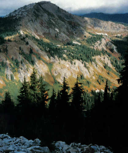 We move along out of Pierce using side roads to cruise 63 miles of dirt roads to get over the Dworshak Reservoir bridge and climb up to towards Lookout Mt. Lookout Mt trail is a 7 mile single track that follows the steep hill side, then the rocky ridge top with many open views, including the top of lookout mountain itself for the high point of the day at 6742ft. After finishing the single track, we drop down some 20 miles of forest roads to Avery along the wild and scenic St Joe River for gas and food.
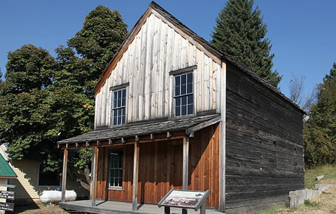
Avery has a population of 25 permanent residents, but you will see more there on vacation and for summer forestry work. If you are breaking up your stages, there are a couple places to lodge here too. The rest of this stage is a good workout. The “main” attraction other than outdoor recreation in Avery is the Fish Pond where large rainbow trout scarf up the 25 cent fish food.
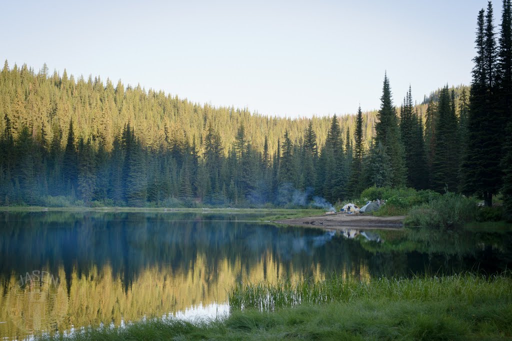 Hopefully you are feeling good after Avery because the high density and advanced trails start soon. We get right onto the popular Nelson Ridge trail to climb up to the top of Shefoot mountain top for spectacular cliff top views. Then we take Long Liz trail down to the before passing thru some fun train tunnels along the way. After a connecting road at 3100ft, we aggressively climb up Kyle Creek trail and ride Arid Peak ridge trail to 6000ft. Then continue on the ridge on the more moderate Cedar Mountain trail to end this 8 mile trail section. After a 1/2 mile connector road, we get right back to it on the advanced 4 mile Cedar Creek ST trail. The main route takes you into Wallace up Slate creek road, over a fast ATV trail, the down Cranky Ridge Single track. But if you handled Cedar Creek trail well and have the daylight, you can take the special test loop for more great trail. It includes a short connector road that takes you to the Special test loop of Prospect ST trail that leads right into Slate Peak/Mastadon Mt trail to end a 6 mile challenge. Then we have a few miles of Dam Creek divide ATV trail then other ATV trails to see Elsie Lake (sweet camp sites for those camping) and a descent down Cranky single track before getting into Wallace. If you want to camp near Wallace even though you bypassed the Prospect/Mastadon Mt special test loop, you can still backtrack along the Special test section before dropping down Cranky trail to get to Elsie lake for the night. There are no known campsites near the exit route out of Wallace.